

Every satellite overhead, from the one streaming your GPS location to the one beaming internet to a remote cabin, lives in one of three broad orbit bands around Earth: LEO, MEO, or GEO. The names sound technical, but the idea behind them is simple — how far up a satellite flies determines how fast it moves, how much ground it can see, and how long a signal takes to reach it.
Table of Contents
This guide breaks down what LEO, MEO, and GEO actually mean, how high up each one is, which real-world satellites use them, and why a company like SpaceX, a weather agency, or a GPS provider picks one orbit over another.
Quick Answer
LEO (Low Earth Orbit) sits roughly 160–2,000 km up and is used for internet constellations like Starlink and the International Space Station. MEO (Medium Earth Orbit) spans about 2,000–35,786 km and is home to GPS and other navigation satellites. GEO (Geostationary Earth Orbit) sits at a fixed 35,786 km and is used for TV broadcast, weather, and communications satellites that appear to hover over the same spot on Earth.
The Three Orbit Types, One by One
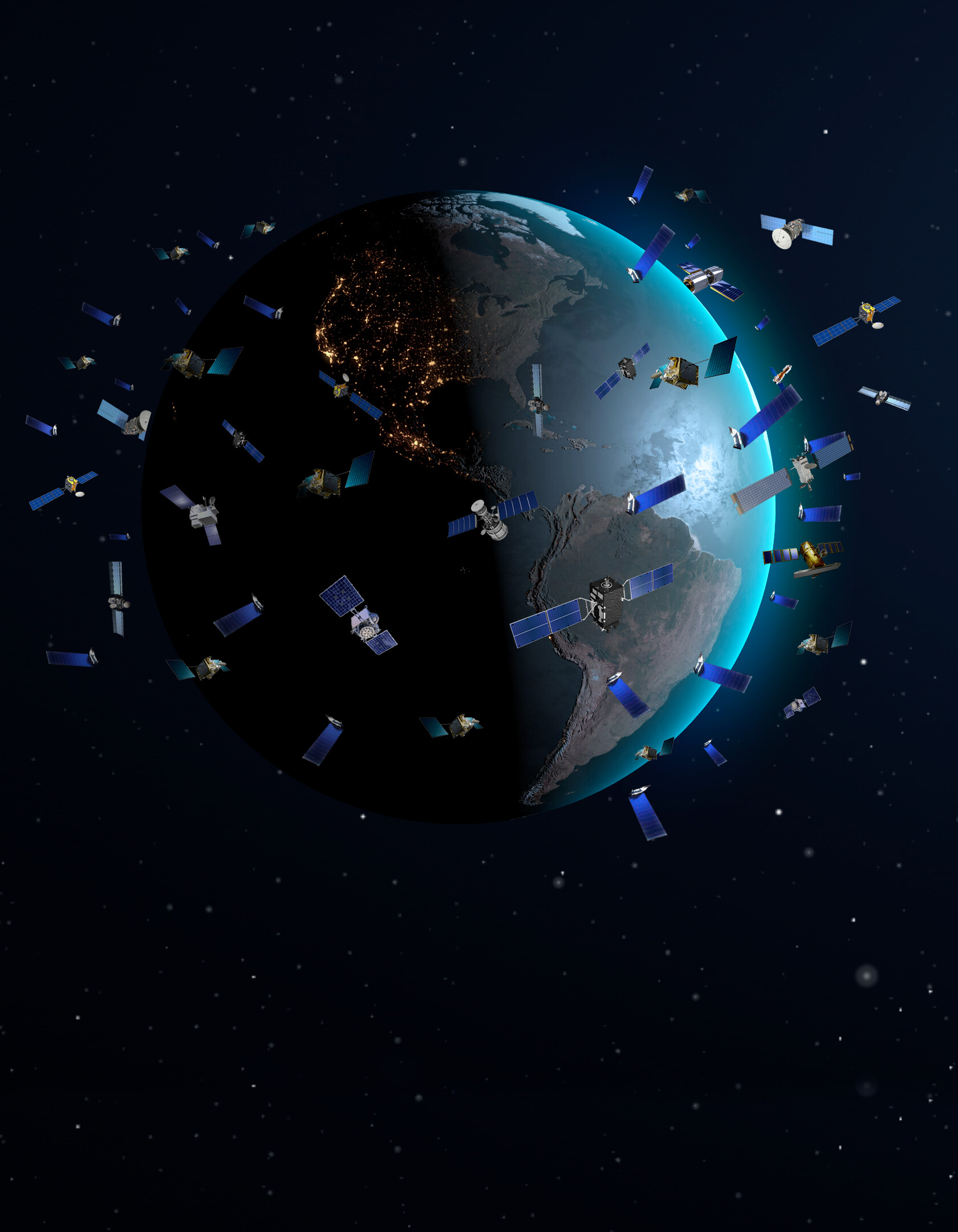
LEO is the closest band to Earth, roughly 160 to 2,000 kilometers up. Because it’s so close, satellites here whip around the planet quickly — the ISS completes an orbit in about 90 minutes, and Starlink satellites orbit around 480–550 km altitude. The tradeoff is coverage: a single LEO satellite only sees a small patch of Earth at a time, so services like Starlink need thousands of satellites working together to cover the whole planet continuously. The payoff is low latency, since signals only travel a few hundred kilometers each way, which is why LEO constellations can offer near-fiber-like internet speeds even in remote areas.
MEO covers the middle ground, from about 2,000 km out to just under 35,786 km. This is where GPS satellites live, orbiting at roughly 20,200 km and taking about 12 hours to circle the Earth. Other global navigation systems — Europe’s Galileo, Russia’s GLONASS, China’s BeiDou — also use MEO. It’s a sweet spot for navigation because a smaller number of satellites (a few dozen) can maintain constant global coverage, and the higher altitude means each satellite is visible to a much wider area of ground than a LEO satellite would be.
GEO is a single specific altitude — 35,786 km above the equator — where a satellite’s orbital speed exactly matches Earth’s rotation. That makes it appear to hang motionless over one fixed point on the ground, which is why it’s called ‘geostationary.’ This makes GEO ideal for things that need a satellite dish to point at a fixed spot in the sky without tracking motion: TV broadcast, weather monitoring, and some communications and military satellites. The tradeoff is distance-driven latency — a round trip to a GEO satellite and back takes noticeably longer than LEO, which is why GEO isn’t used for fast-response applications like real-time gaming or GPS.
Why Orbit Height Actually Matters
The core tradeoff across all three orbits comes down to three things: latency, coverage area, and how many satellites you need. Lower orbits (LEO) give you low latency and high-resolution imaging or fast internet, but require large constellations because each satellite only covers a small footprint and moves out of view quickly. Higher orbits (GEO) need just one satellite to cover a huge, fixed region and never need to be ‘handed off’ to another satellite, but the extra distance adds delay to any signal. MEO splits the difference, which is exactly why it fits GPS: you need enough satellites overhead at any given moment for accurate positioning, but not so many that the system becomes unmanageable.
Orbit choice also affects a satellite’s job security, in a sense. LEO satellites experience atmospheric drag and gradually fall back to Earth within years if not boosted, which is actually a feature for constellations like Starlink — failed satellites deorbit and burn up naturally rather than becoming long-term space debris. GEO and MEO satellites, being far above meaningful atmospheric drag, can remain in orbit for decades, which is one reason GPS and weather satellites are built for such long operational lifespans.
Tips and Common Mistakes
Don’t assume ‘higher orbit’ means ‘better’ — it depends entirely on the job. A weather satellite benefits from GEO’s fixed viewpoint, while a broadband constellation benefits from LEO’s low latency. Also, don’t confuse GEO with ‘geosynchronous orbit’ in general — geostationary is a specific type of geosynchronous orbit that stays directly above the equator; other geosynchronous orbits can be inclined and trace a figure-eight path over Earth instead of staying fixed. Finally, remember that LEO constellations trade satellite count for performance — a system like Starlink needs thousands of satellites precisely because no single one can stay overhead for long, unlike a lone GEO satellite that only needs to launch once and stay put.
Explore more: Explore more space explainers.
Satellite orbits (LEO, MEO, GEO) FAQs
What’s the main difference between LEO, MEO, and GEO?
It’s altitude, and everything that altitude implies: LEO (160–2,000 km) offers low latency but needs many satellites for full coverage; MEO (2,000–35,786 km) balances coverage and satellite count, used for GPS; GEO (35,786 km, fixed) lets one satellite stay parked over the same spot on Earth, ideal for broadcast and weather.
Why does Starlink use LEO instead of GEO?
LEO’s low altitude (around 480–550 km for Starlink) keeps latency low, roughly 25–50 ms round trip, which is close to typical wired internet performance. A GEO satellite is so far away that the light-speed delay alone adds a much longer, more noticeable lag.
Why do GPS satellites use MEO instead of LEO?
At around 20,200 km altitude, each GPS satellite is visible over a much wider area of Earth than a LEO satellite would be, so a constellation of a few dozen MEO satellites can maintain constant global positioning coverage without needing thousands of units.
Is the International Space Station in LEO, MEO, or GEO?
The ISS is in LEO, orbiting at roughly 400 km altitude and circling Earth about every 90 minutes.
What does ‘geostationary’ actually mean?
A geostationary satellite orbits at exactly 35,786 km above the equator at a speed that matches Earth’s rotation, so from the ground it appears to stay fixed in the same spot in the sky at all times.
Make Your Digital Life Better
More practical tech how-tos, tool picks, and guides to upgrade your everyday digital life. More on GTWebs.
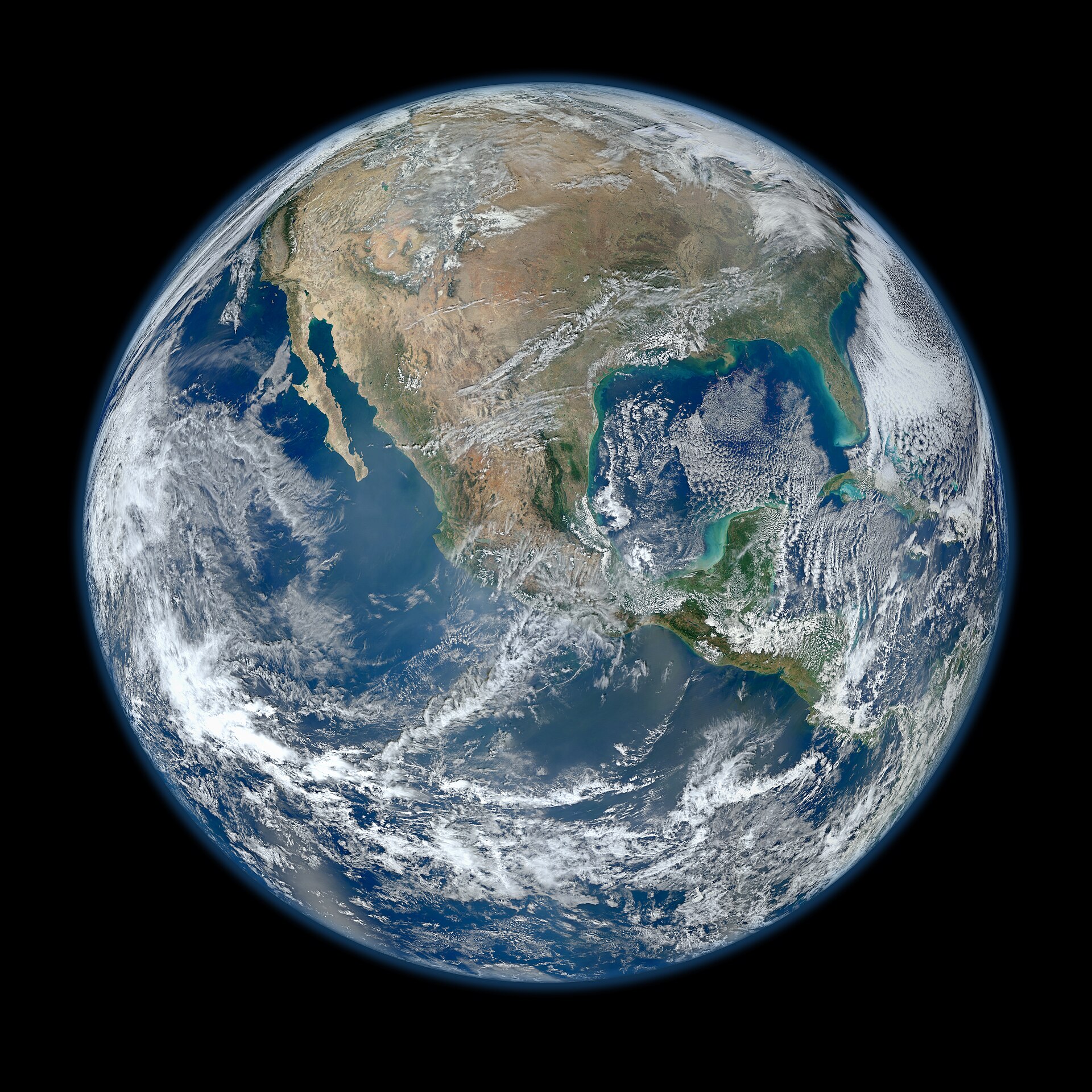
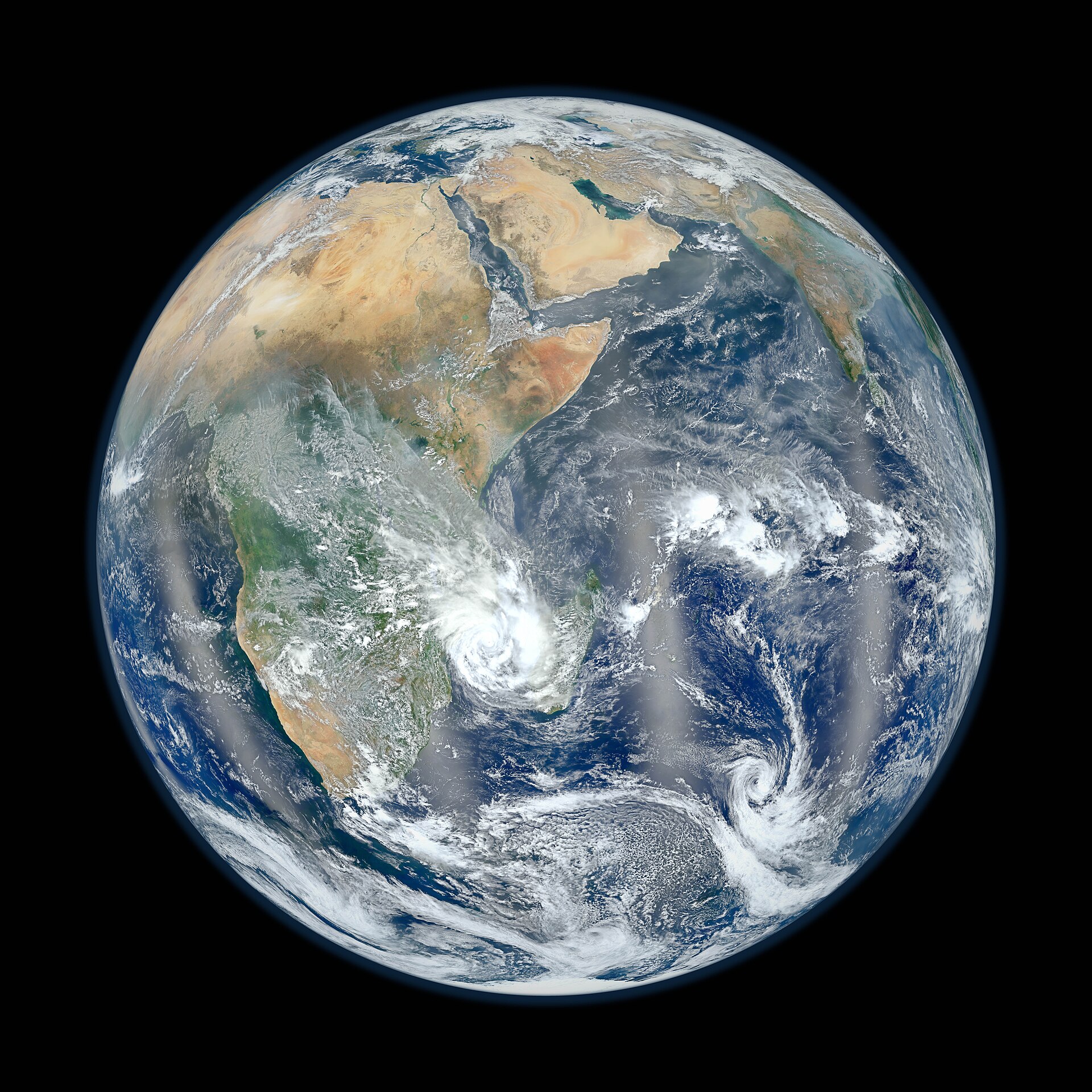
Photo: NASA/NOAA/GSFC/Suomi NPP/VIIRS/Norman Kuring / Public domain, via Wikimedia Commons.