

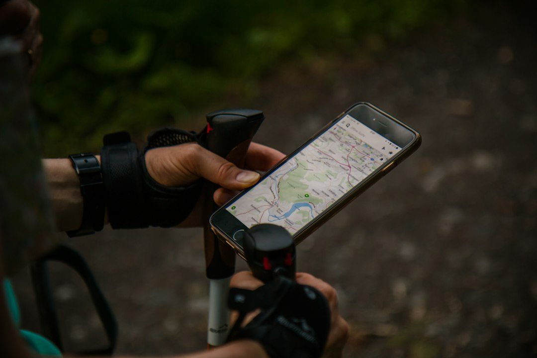
Cell service disappears fast once you’re on a trail outside your home country, and a dead data plan is the last thing you want to discover halfway up a mountain. The fix is downloading a real offline map before you leave your last wifi connection, not relying on a screenshot or a memory of the trailhead sign.
Table of Contents
This guide compares the offline hiking map apps that actually work well abroad, walks through how to download maps before you go, and flags the mistakes that leave hikers stranded without a usable map.
Quick Answer
For most international trips, Organic Maps is the best free starting point because it’s fully offline, open-source, and covers the whole world with no subscription. If you want curated trail data, elevation profiles, and route planning on top of offline maps, pair it with (or switch to) Gaia GPS, AllTrails+, or Komoot depending on the region and trail network you’re visiting.
The Best Offline Hiking Map Apps Compared
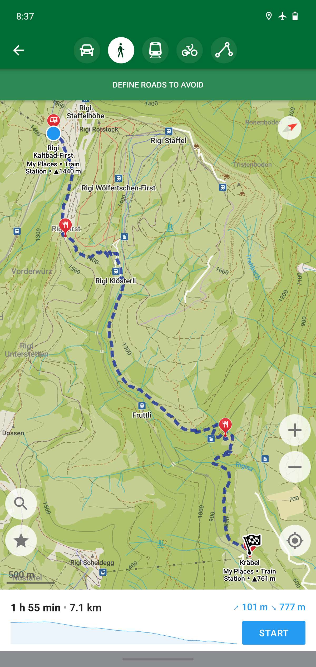
Organic Maps is a free, open-source app built on OpenStreetMap data. You download an entire country or region once, and it works completely offline from then on — no subscription, no ads, no account required. It’s especially strong for international trips because OpenStreetMap trail coverage is often more complete in Europe, parts of Asia, and South America than commercial alternatives, and the app includes hiking-specific layers like contour lines and official trail markings.
OsmAnd is the more feature-dense cousin of Organic Maps, also built on OpenStreetMap. It offers a free version with a limited number of map downloads, plus a one-time purchase or subscription (OsmAnd+ / OsmAnd Pro) that unlocks unlimited offline maps, hillshading, slope visualization, and offline turn-by-turn navigation. It’s worth the upgrade if you’re planning a long multi-country trip and want everything downloaded at once.
Gaia GPS is built for backcountry and mountain navigation, with strong topographic layers and route-planning tools. Its paid tiers unlock offline access to specialized map sources and larger download areas, which matters if you’re hiking somewhere with limited official trail marking and need detailed topo lines to navigate safely.
AllTrails+ is the easiest app for popular, well-documented trails — it has the largest crowdsourced trail review database, and the paid tier adds offline maps, off-route alerts, and recent trail conditions reported by other hikers. It’s most useful for well-trodden international hiking regions (the Alps, New Zealand’s Great Walks, popular Southeast Asia trekking routes) where other hikers have already logged the trail.
Komoot is the strongest option if you want to plan a multi-day route yourself rather than follow an existing trail, generating routes based on terrain and surface type. You don’t need an ongoing subscription just to get offline maps: a one-time Single Region, Region Bundle, or World Pack purchase unlocks downloadable offline maps and in-app turn-by-turn navigation for that area with no recurring cost. Komoot Premium is a separate subscription layered on top for extras like worldwide coverage without buying individual packs, multi-day route planning tools, and live tracking. Note that exporting or syncing a planned route to an external GPS device or smartwatch is handled separately from map downloads, and depending on your account type may require an active Premium subscription — check Komoot’s current plan details before you count on that specific feature.
How to Download Offline Maps Before You Go
Download your maps while you’re still on reliable wifi — airport wifi or your hotel the night before, not the trailhead. Open the app, search for the specific region, park, or trail network you need, and use the ‘download offline’ or ‘download map’ option rather than just viewing it online.
Download a buffer zone larger than the trail itself. If your route could change, or you need to detour to a town for water or a bus, you want that area already on your phone. For OsmAnd and Organic Maps, this means downloading the whole administrative region, not just a tiny bounding box around the trailhead.
Test the map in airplane mode before you leave wifi. Turn off data, open the app, and confirm the map tiles load, your GPS location shows up, and any saved route or track is visible. This takes two minutes and catches a failed download before it becomes a problem on day one of the trip.
Carry a battery backup and bring a second, independent map source — either a second app or a paper map of the region. Phones die, and a single point of failure on navigation is a real risk on an unfamiliar international trail.

Tips and Common Mistakes
Don’t rely on your phone’s built-in Maps app or Google Maps for offline hiking — their offline mode is built for driving directions in cities, not trail-level detail, and it frequently lacks footpaths entirely in rural or mountainous areas abroad.
Download maps for the whole trip before you leave your home country’s wifi or a major city, not city by city as you travel — border crossings and remote regions often have weak or expensive data, and you don’t want to be downloading a large map file on roaming data.
Check your phone’s storage before downloading — detailed topo and hillshade layers for a large region can take up significant space, and a failed download due to low storage is a common and avoidable trip-ruining mistake.
If you’re hiking in a region with unreliable official trail marking, prioritize an app with strong contour-line and topo detail (Gaia GPS or OsmAnd) over one built mainly around crowdsourced reviews (AllTrails), since topo lines help you navigate even when the trail itself is unclear on the ground.
Explore more: more travel planning guides.
Frequently Asked Questions
Do offline hiking map apps work without any cell signal or wifi at all?
Yes, once you’ve downloaded the map tiles for your region while you had an internet connection, apps like Organic Maps, OsmAnd, Gaia GPS, AllTrails+, and Komoot will show your GPS location and the downloaded map with zero connectivity. GPS itself is satellite-based and works independently of cell or wifi signal.
Which offline hiking map app is best for free international use?
Organic Maps is the strongest fully free option — it’s open-source, has no subscription, and covers worldwide OpenStreetMap data including hiking-specific trail layers. OsmAnd’s free tier also works well but limits how many regions you can download before you need to pay.
Can I use these apps to navigate a trail in a country where I don’t have a local SIM card?
Yes — that’s exactly the use case they’re built for. Download the map for your destination while still on wifi before you fly, and the app will work offline throughout your trip regardless of whether you have local cell service.
Make Your Digital Life Better
More practical tech how-tos, tool picks, and guides to upgrade your everyday digital life. More on GTWebs.
Want web tips in your inbox? Subscribe to the free newsletter.
Photo by Antonio Groß on Unsplash.